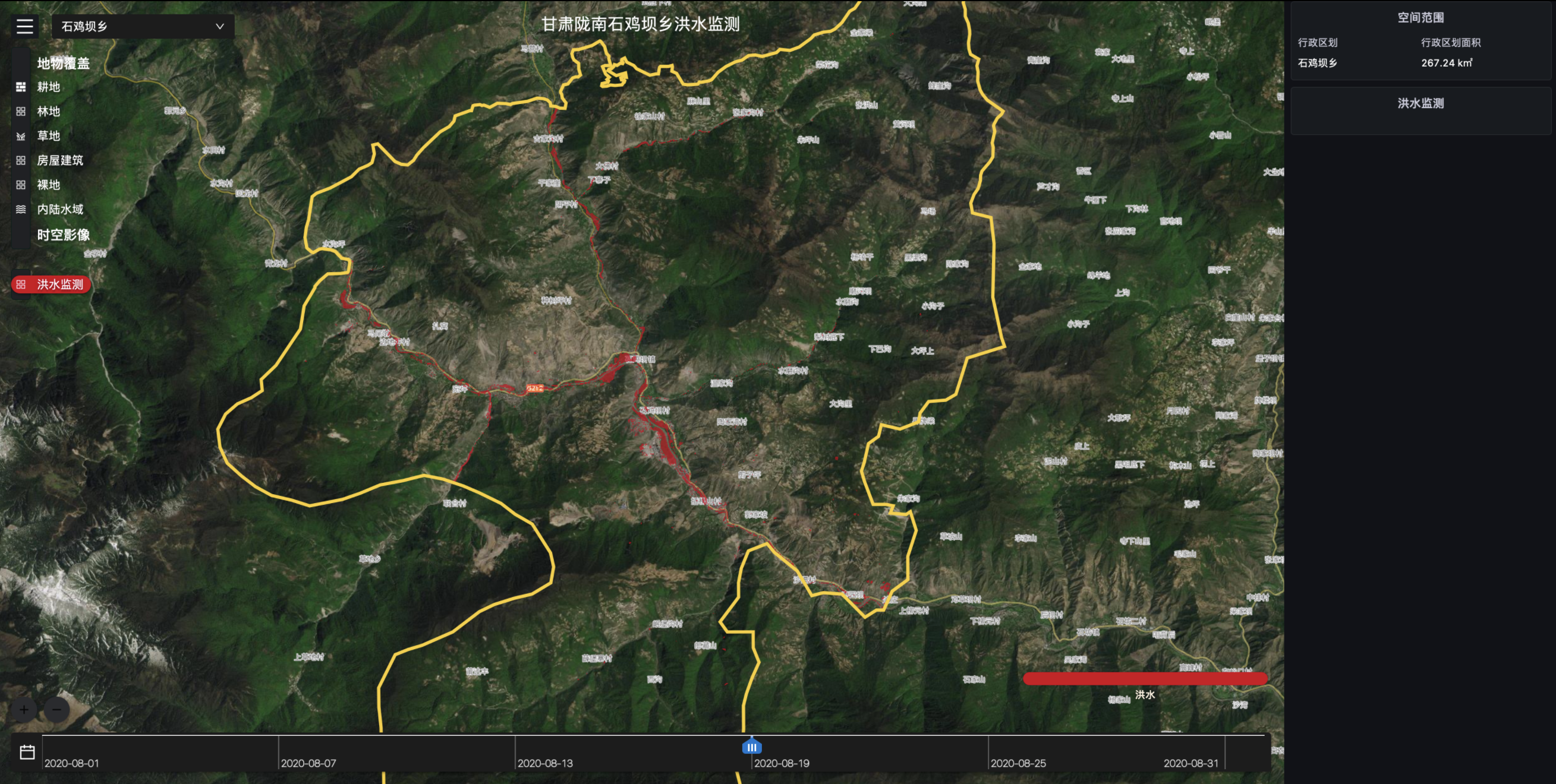
Disaster Monitoring Data Module
With more extreme weather around the world, natural disasters of all kinds are occurring more frequently, and regions traditionally impervious to disasters are increasingly under threat. Floods and other disasters threaten the safety of people's lives and property, and also put forward higher requirements on the disaster management ability of governments, especially the emergency management department.
Under the new norm of climate change, TerraQuanta needs technologies with faster response, higher monitoring frequency and larger monitoring range to help relevant departments timely and fully grasp the dynamics of disasters. In order to meet these demands, TerraQuanta proposed a package of natural disaster monitoring data module based on AI+ remote sensing.
Flood Emergency Monitoring

Core Index
Technical Index | Data |
|---|---|
| Data Format | Raster, Vector |
| Spatial Resolution | Standard: 10 meters |
| Time Resolution | Update when Triggered |
| Servisable Area | Global |
| Service Mode | SDK, SaaS, WMTS |
| Main Data Source | TerraQuanta Multi-source Meteorological Input (TMMI) |